
Sorry, no records were found. Please adjust your search criteria and try again.
Sorry, unable to load the Maps API.
Profile
New York power
Recently began operating (2024) and has not yet reported a full year of generation. Its first complete year of data will appear in the next annual release.
Air quality & health in Chenango County
Chenango County has a population of 45,920. Across five conditions the American Lung Association tracks — childhood asthma, adult asthma, COPD, lung cancer, and cardiovascular disease — it reports a combined 9,989 cases in the county.
No ozone or particle pollution grades are available for this county in the most recent report. The figures above describe how many residents live with conditions sensitive to air quality — not measured pollution levels.
Long-term exposure to air pollution has been linked to certain health conditions, particularly for children and older adults. Where electricity comes from affects how much combustion pollution is produced on the grid.
These figures describe the county as a whole and are not specific to this facility. Sources: American Lung Association – State of the Air (New York); U.S. EPA Air Quality Index.
The story behind this New York renewable energy facility
New York has 567 solar plants in this category, and Greene Community Solar, near Chenango Forks in Chenango County, ranks #564 of 567 by 2024 electricity produced. It began operating in 2024, so a full year of data isn’t in yet, and the numbers will look different once it is.
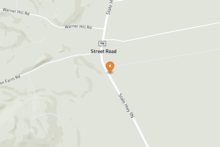
The plant is a solar photovoltaic array, meaning panels that turn sunlight directly into electricity with no fuel burned. Its nameplate capacity, the most power it can deliver at one moment, is 5.0 MW. A megawatt (MW) is a million watts, a common way to size power plants. It sits along State Hwy 12 and serves the NYSEG area.
Nearby places worth exploring
Chenango County is known for the Chenango River valley and the city of Norwich, with quiet farm towns scattered across the countryside. Bowman Lake State Park is a favorite spot for swimming, picnicking, and getting outdoors.
Local school district
Greene Central School District
Common questions
What kind of power plant is this?
Where is it?
Which utility serves this area?
Is this near my ZIP code?
* Homes-powered and emissions comparisons are annual estimates based on national averages from the U.S. Energy Information Administration. “Homes powered” describes a quantity of electricity, not direct service to specific households. How we calculate this.